-
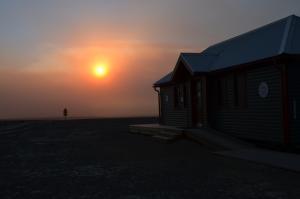
Sun rising behind the eruptive plume at the Drekki hut on September 12th, 2014. Author: Stéphanie Dumont.
-
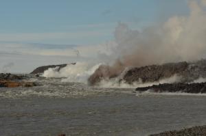
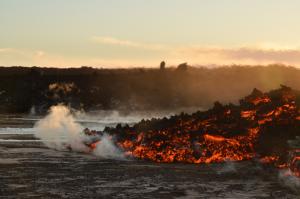
Interaction between the lava flow and Jökullsá áfjöllum river at the northeastern tip of the lava field which has triggered some explosions (gray plume). Date: 12th September 2014. Author: Stéphanie Dumont.
-
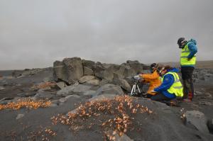
Setting up a time lapse capturing the northeastern tip of the lava, where it meets Jökullsá áfjöllum river. Johanne Schmith, Ármann Höskuldsson and Agúst Gunnlaugsson, IES. Date: 12th September 2014. Author: Stéphanie Dumont.
-
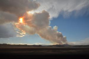
View from the North of the eruptive fissure: the dense plume in the background and the windblown sand in the foreground, make the monitoring from the ground difficult. Date: 12 September 2014. Author: Stéphanie Dumont.
-
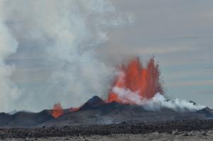
View from the West of the Baugur crater and the lava fountains on September 12th, 2014. The main crater is located in the southernmost part of a series of smaller craters. Author: Stéphanie Dumont.
-
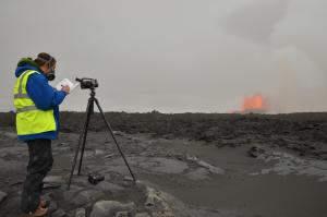
Johanne Schmith, IES, measuring temperatures on the lava fountains using FLIR camera. Date: 13th September 2014. Author: Stéphanie Dumont.
-
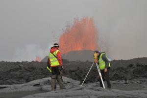
Theodolite measurements are used to estimate the height of the lava flows and the crater rims. Daniel Juncu and Agúst Gunnlaugsson, IES. Date: 13th September 2014. Author: Stéphanie Dumont.
-
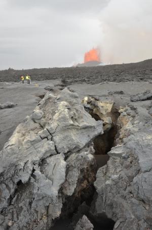
The fissures, on the foreground, have been developed to form a graben above the dike feeding the eruptive fissure, in the background. Some scientists from IES estimate the height of the crater rims and the lava fountains using a theodolite. Date: 13th September 2014. Author: Stéphanie Dumont.
-
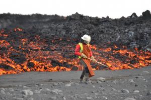
Lava sampling of a new outbreak on the northern edge of the lava field. Agúst Gunnlaugsson, IES. Date: 13th September 2014. Author: Stéphanie Dumont.
-
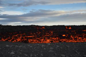
New outbreak fed by several lava channels on the northern edge of the Holuhraun lava field. Date: 13th September 2014. Author: Stéphanie Dumont.
-
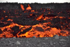
Lava with big slabs on the northern edge of the lava field. Date: 13th September 2014. Author: Stéphanie Dumont.
-
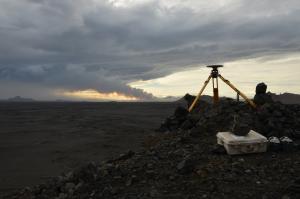
GPS running at the campaign site FJAL located around 20 km North-West of the dike. Date: 14th September 2014. Author: Stéphanie Dumont.
-
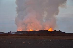
The crater Baugur after merging with the smaller craters located further North: an elongated crater longer than 200 m has formed. Date: 16th September 2014. Author: Stéphanie Dumont.
-
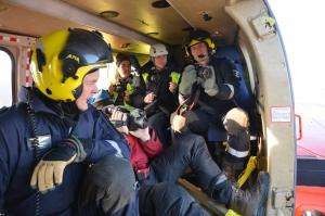
FLIR measurements along the Holuhraun lava field on board of the coast guard helicopter. Date: 20th September 2014. Author: Stéphanie Dumont.
-
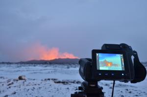
Temperature measurements of Baugur crater using FLIR camera on December 2nd, 2014. Author: Stéphanie Dumont.
-
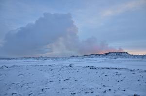
Baugur crater and its plume in the winter. Date: 3rd December 2014. Author: Stéphanie Dumont.
-
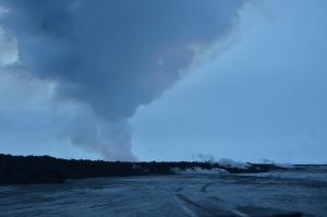
New outbreak on the northern edge of the Holuhraun lava field with the plume of the main crater in the background. Date: 3rd December 2014. Author: Stéphanie Dumont.
-
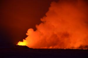
View from the West of Baugur crater and the lava lake located South-East of Baugur. Date: 3rd December 2014. Author: Stéphanie Dumont.
-
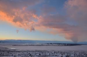
Sunrise on the Holuhraun lava field from Vaðalda hill. Date: 4th December 2014. Author: Stéphanie Dumont.
-
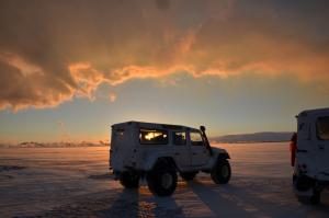
Winter conditions in the Flæður plain at the first daylight. Date: 4th December 2014. Author: Stéphanie Dumont.
-
Lava front on the northern edge of the lava field. The heat wave makes some parts of the picture blurred. Date: 4th December 2014. Author: Stéphanie Dumont.


