The Bárdarbunga caldera volcano in central Iceland collapsed from August 2014 to February 2015 during the largest eruption in Europe since 1784. An ice-filled subsidence bowl 8 by 11 kilometers (km) wide and up to 65 meters (m) deep developed, while magma drained laterally for 45 km along a subterranean path and erupted as a major lava flow northeast of the volcano.
Below are some photos taken during the Bárdarbunga event, click to enlarge the photos.
-

Bárdarbunga, view from the north a few days after onset of collapse - no visible changes seen at this time - Tobias Dürig
-
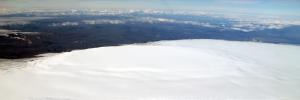
Bárdarbunga, view from the southwest a few days after onset of collapse - no visible changes seen at this time - Tobias Dürig
-
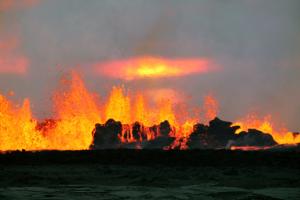
New lava advancing on first day of major eruption, 31 August 2014 - Gro Birkefeldt Möller Pedersen
-
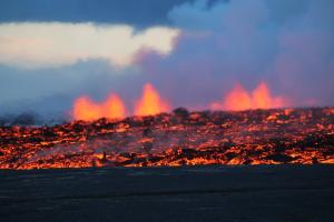
New lava advancing on first day of major eruption, 31 August 2014 - Gro Birkefeldt Möller Pedersen
-
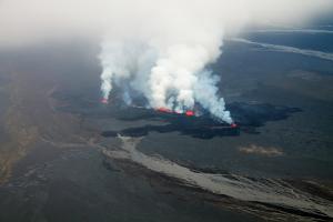
The eruption in Holuhraun on its fourth day - 3 September 2014 - Thórdís Högnadóttir
-
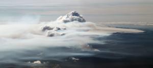
Eruption column rising to about 5 km, water vapour dominant in convecting column but sulphur-rich clouds in foreground - Magnús T. Gudmundsson
-
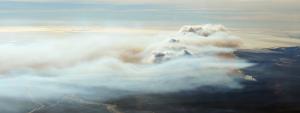
Eruption column rising to about 5 km, water vapour dominant in convecting column but sulphur-rich clouds in foreground - Magnús T. Gudmundsson
-
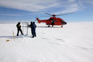
A GPS station was set up on the ice in the center of the subsiding caldera to monitor the collapse with the help of a Coast Guard helicopter on 11 September 2014 - Björn Oddsson
-
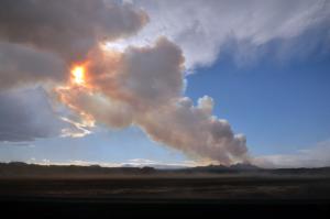
The eruption in Holuhraun with its sulphur rich eruption column on 12 September - Stéphanie Dumont
-
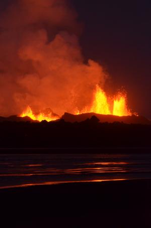
Fire fountaining at the craters in Holuhraun on the 13th day of the eruption - Stéphanie Dumont
-
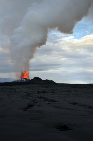
Fire fountaining at the craters in Holuhraun on the 13th day of the eruption - Stéphanie Dumont
-
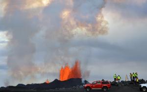
Observation team at the eruption site in Holuhraun on the 14th day of the eruption - Stéphanie Dumont
-
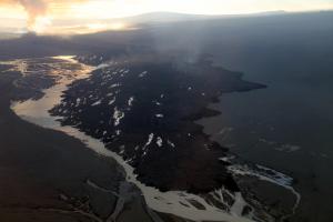
The 18 km long lava flow on the 14the day of eruption, having diverted the large glacial river to the east - Tobias Dürig
-
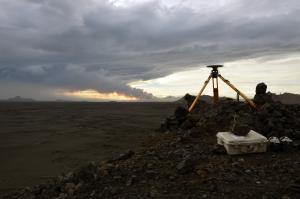
A temporary GPS station a few kilometers northwest of the Holuhraun eruption site - Stéphanie Dumont
-
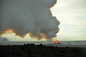
Eruption column had virually no tephra, it was almost exclusively made of gas (mostly H2O and SO2) - Stéphanie Dumont
-
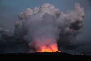
Eruption column in the evening of 19 September 2014 - Gro Birkefeldt Möller Pedersen
-
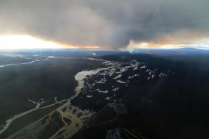
Eruption column and lava flow from the air on 22 September 2014 - Thórdís Högnadóttir
-

Bárdarbunga from southwest, eruption column rising through cloud in upper left corner - Tobias Dürig
-
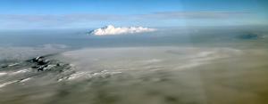
Bárdarbunga in foreground, looking towards northeast, with eruption column rising through cloud in the distance on 24 October 2014 - Thórdís Högnadóttir
-
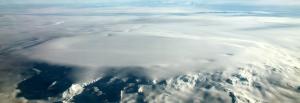
View from northwest over Bárdarbunga on 24 October 2014. The arch-shape lineation inside the northern rim marks the main subsidence area. Ice cauldrons on rim mark increased geothermal activity under the glacier - Thórdís Högnadóttir
-
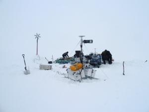
Maintenance of the BARC GPS station in the center of the subsiding caldera was done on snowmobiles on 11 November 2014 - Benedikt G. Ófeigsson
-
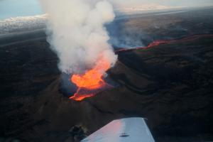
Lava lake in crater with a river of lava flowing along the surface of the lava flow - Tobias Dürig
-
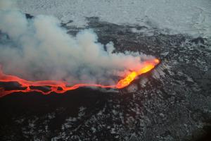
Lava lake in crater with a river of lava flowing along the surface of the lava flow - Tobias Dürig
-
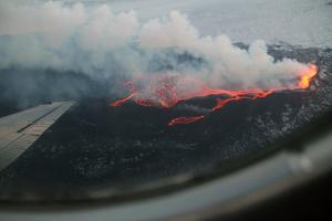
Lava lake in crater with a river of lava flowing along the surface of the lava flow. Gas rising from the lava lake - Tobias Dürig
-
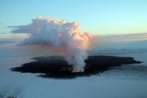
Holuhraun lava and eruption site on 8 December 2014 - Gro Birkefeldt Möller Pedersen
-
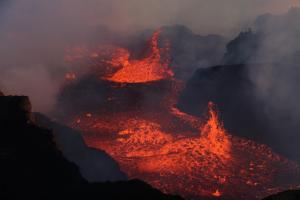
The lava lake in Holuhraun on 10 January 2015, gradual cooling has occurred since early December - Gro Birkefeldt Möller Pedersen
-

Bárdarbunga seen from the north - the main subsidence bowl within the caldera can be clearly seen at this low sun angle - Magnús T. Gudmundsson
-
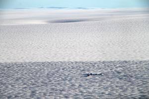
The BARC GPS station in the center of Bárdarbunga retrieved in late October 2015. One of the geothermal ice cauldrons formed in the southeast corner of the caldera in the distance - Magnús T. Gudmundsson


