The early detection of this outburst flood (jökulhlaup) is a resounding success for FutureVolc! We were delighted to be able to issue a three-day advanced warning of the oncoming flood, based on measurement and data-processing techniques developed in WP6. This is a leading example of how FutureVolc has made direct contributions to volcanic monitoring in Iceland.
Here is an update on the developing jökulhlaup from the Eastern Skaftá ice-cauldron:
Update: 1 October, 15:00 UTC
At 03:30 GMT today, 1 October, floodwater was detected at Sveinstindur on Skaftá. The rate of discharge increase at Sveinstindur is the highest observed since the station was established in 1971. From initial observations, the ongoing jökulhlaup could be the largest to have occurred from the Skaftárkatlar. At around 10:00 GMT today, floodwater was also detected in Skaftárdalur, where the present discharge is ~400 m^3 / s and rising quickly. At Sveinstindur, the discharge level is in excess of 1,300 m^3 / s and rising. The jökulhlaup will likely reach maximum discharge in the lower reaches of Skaftárdalur during the early hours of Saturday, 3 October.
Radio contact still exists with the GPS station in the eastern ice-cauldron; the latest measurements show over 66 m of subsidence since 18:00 GMT on 27 September. During the last one to two hours the rate of subsidence has decreased, suggesting that outflow from the cauldron has peaked.
Update: 30 September, 15:44 UTC
The latest GPS measurements show that the rate of ice-surface lowering (subsidence) continues to increase. The present level of subsidence exceeds 12 m, but this represents only 10% of the expected total. In the coming days, the rate of subsidence will continue to increase. It is possible that radio contact will soon be lost with the FutureVolc GPS station, as subsidence will disrupt the line-of-sight for the radio link.
Floodwater is propagating beneath western Vatnajökull to the Skaftá river, where it is likely to emerge early on Thursday morning, 01 October. From there, the jökulhlaup will take about 5 hours to reach the nearest gauging station at Sveinstindur. The rate of water-level increase at Sveinstindur will allow us to estimate the size of the flood as it develops. Localised flooding should be expected on the lower part of Skaftá late on Thursday, lasting through the weekend.
Useful links
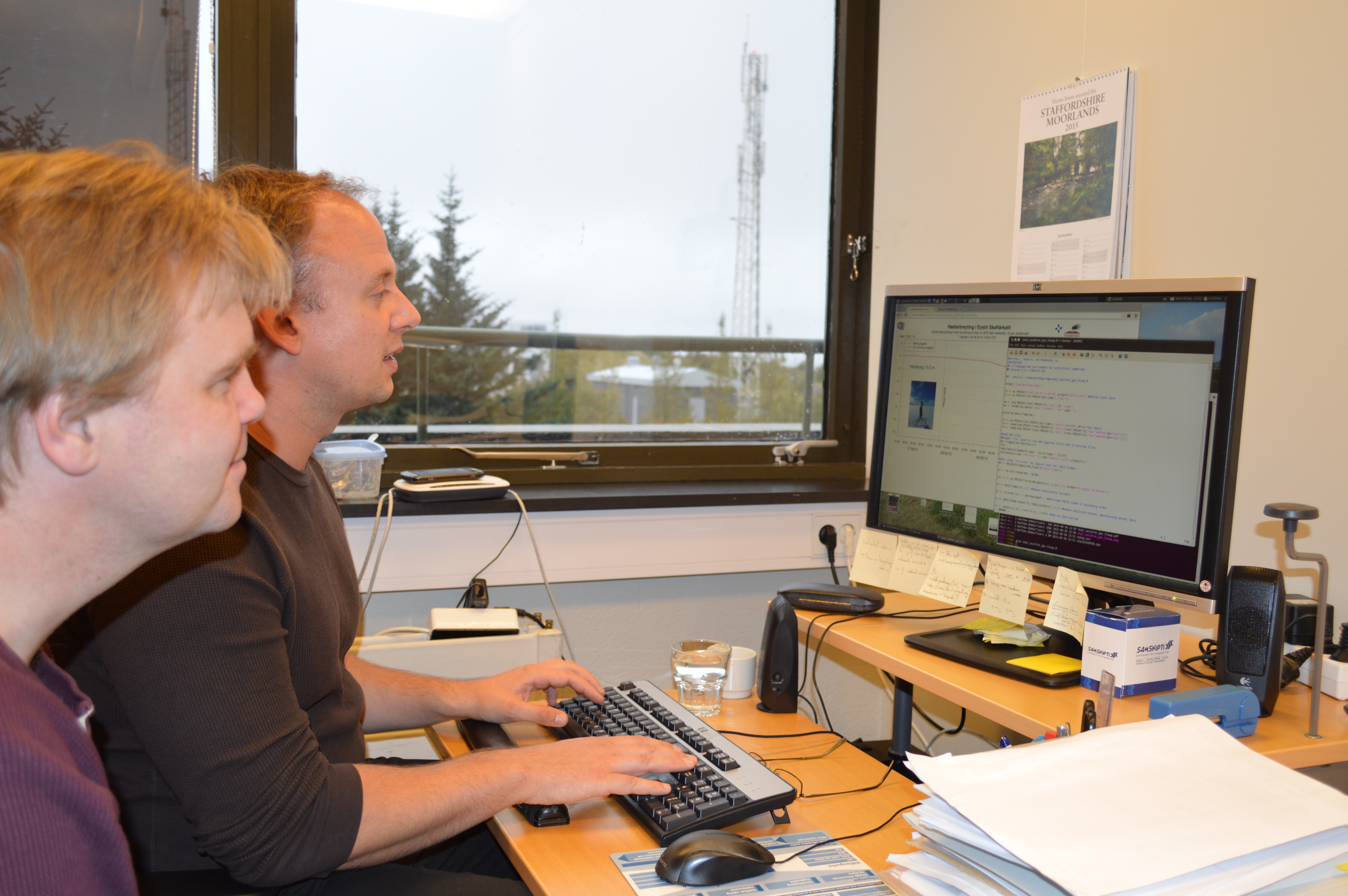
Near-real-time GPS plot: http://brunnur.vedur.is/pub/vatnavakt/skafta/ska2_cauldron_gps_hlaup.html
Regional map showing the subglacial path of the flood: 
Discharge stations and locations (shown in red) where flooding is likely:
Possible hazards
- Flood conditions are expected on Skaftá from the early hours of Thursday (01 October) to at least Sunday (04 October). Some flooding of unpaved roads close to Skaftá is possible.
- Although unlikely, the flood might drain partly from Síðujökull, which would cause flooding on Hverfisfljót, particularly at the bridge over Highway 1.
- Hydrogen sulphide is released from the floodwater as it drains from Vatnajökull. The gas is particularly potent at the ice margin, where concentrations will reach poisonous levels. Travellers must stay away from the edges of Skaftárjökull, Tungnaárjökull and Síðujökull while the jökulhlaup occurs.
- Crevasses will develop rapidly around the ice cauldron, so travellers on Vatnajökull should stay away from the region, including the lower part of Skaftárjökull and Tungnárjökull, where floodwater could burst through the surface.
Regards,
Matthew J. Roberts
Benedikt G. Ófeigsson
Kristín Vogfjörð
Icelandic Meteorological Office, Reykjavík